Otranto · Puglia, Italy
Otranto — Italy's Eastern Edge
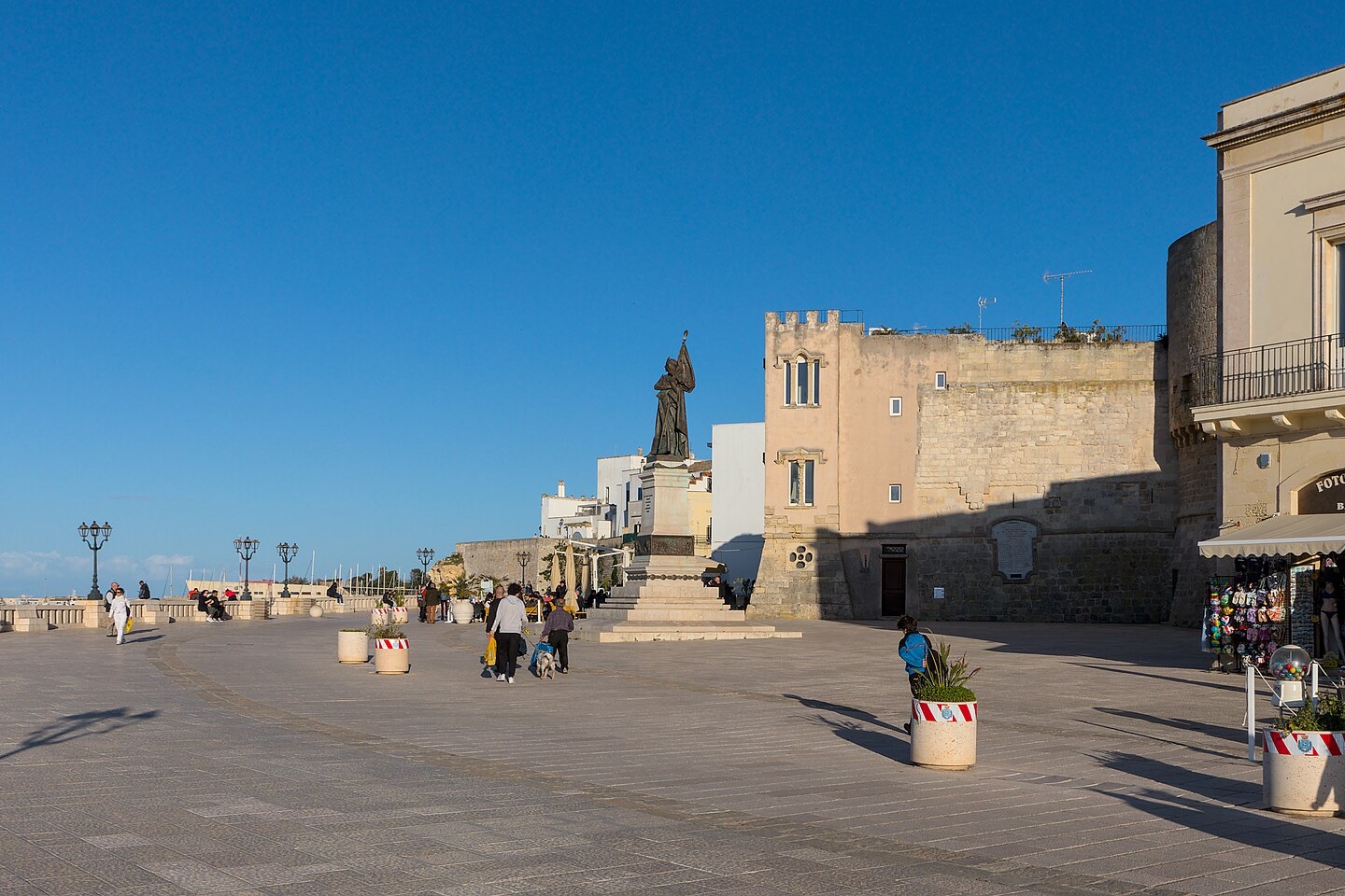
Otranto is the easternmost town in Italy — a whitewashed, walled port that for a thousand years faced Byzantium and the Balkans across a seventy- kilometre strait, not Rome.
Narration in English · Stop 1 is free
 Tour no. 05
- Stops
- 8
- Distance
- 1.5 km (0.9 mi)
- Time
- About 90 minutes
- Route
- Easy city route
Listen before you buy
Stop 1 · Land Gate
Stop 1 is free. Listen before you buy.
The walk
A self-guided audio tour of Otranto
Otranto is the easternmost town in Italy — a whitewashed, walled port that for a thousand years faced Byzantium and the Balkans across a seventy- kilometre strait, not Rome. This walk threads its small Aragonese circuit: a cathedral whose entire floor is a twelfth-century Tree of Life mosaic, a chapel of bones from the Ottoman sack of 1480, a Byzantine church of the Greek rite, and the castle whose name — and nothing else — an Englishman borrowed for the first Gothic novel. Mosaic, martyrdom, and a frontier that never quite became the West.
Route notes
The stops
About each stop · narration stays in the app
Land Gate
The Land Gate is the principal threshold through Otranto's fortified old town, opening from the modern approach into the walled lanes. Beginning here makes the town's defensive edge and its position on Italy's eastern Adriatic frontier immediately visible. The gate is free and outdoors, but the paving narrows just inside and can become congested at busy times.
Aragonese Castle
Otranto's Aragonese Castle is the fortress rebuilt after the Ottoman attack of 1480 and later lent its name to Horace Walpole's pioneering Gothic novel. It gives the route both the military response to the sack and the unexpected afterlife of the town's name in English literature. The exterior and moat are visible without admission; museum access and exhibitions follow the castle's current ticket and opening arrangements.
Otranto Cathedral
Otranto Cathedral brings together a vast twelfth-century mosaic pavement and the chapel holding the remains associated with the victims of the 1480 conquest. This is the route's central stop because medieval imagination and the town's most difficult historical memory occupy the same building. The exterior is always visible, while the mosaic and chapel require entry during current church hours and any applicable access conditions.
Church of San Pietro
San Pietro is a small domed church with Byzantine-plan architecture and surviving medieval frescoes in Otranto's old town. It follows the Latin cathedral to show that the town's eastern connections were part of its own religious history, not only a threat from across the sea. The church exterior is on the public lane; interior access is limited to its current opening times and may not be available every day.
The Old Town
Otranto's old town is a compact inhabited network of whitewashed lanes contained by the castle, cathedral and seaward walls. The route includes the neighbourhood itself so the monuments remain part of a living port rather than an isolated checklist. Streets are free but narrow, stepped in places and shared with residents, so keep voices low and expect uneven paving.
Aragonese Walls
The Aragonese walls form the rebuilt defensive line between Otranto's old town and the strait after the catastrophe of 1480. Reaching them turns the route from inland monuments toward the sea that shaped the town's trade, risk and military planning. The wall approaches are exposed to sun and wind, with ramps and worn stone that deserve careful footing.
Pelasgi Bastion and Matta Tower
The Pelasgi Bastion and Matta Tower occupy the seaward corner of the fortifications, with a broad view east across the Strait of Otranto. This elevated stop makes the frontier geography physical before the route descends to the harbour. The best panorama may lie within the Torre Matta visit route and require admission, but the adjacent public wall approach preserves the essential view.
The Harbour
Otranto's harbour sits directly below the fortified town on the Adriatic passage facing the Balkans. Ending here reconnects the gate, walls and castle to the working waterway that gave each of them purpose. The waterfront is free and level in its main promenade sections, though quays remain operational and should be kept clear.
Local context
Before you go
The published route starts at Largo Porta Alfonsina, 73028 Otranto LE, Italia. It begins at Land Gate and ends at The Harbour.
On the ground
Access and surfaces
Compact walled centre on uneven stone paving and a few short ramps and stairs where the walk meets the ramparts (stops 6-7). The cathedral and San Pietro interiors are ticketed or keep variable hours; the Torre Matta charges admission. The narration works from the exterior throughout, so a closed door never breaks the tour. Little shade along the seaward walls in summer; the seafront finish is level and step-free.
Frequently asked
Plan the walk
- How long is the Otranto audio walking tour?
- Allow about 90 minutes. The self-guided route covers 1.5 km (0.9 mi) in 8 stops, including walking and listening time.
- Where does the Otranto tour start and end?
- It starts at Largo Porta Alfonsina, 73028 Otranto LE, Italia. The published route begins at Land Gate and ends at The Harbour.
- Will the Otranto audio tour work offline?
- Yes, after download. Audio, stop text, images, and GPS triggering work without data; the live map background still needs a connection.