Chefchaouen · Tanger-Tétouan-Al Hoceïma, Morocco
Chefchaouen — The Town That Hid
Chefchaouen was built in 1471 as a fortress-refuge by people driven out of Spain, and for four and a half centuries it kept the world out — the Westerners who saw inside before 1920 came in disguise, and one stayed barely an hour.
Narration in English · Stop 1 is free
 Tour no. 15
- Stops
- 10
- Distance
- 1.4 km (0.9 mi)
- Time
- About 110 minutes
- Route
- Moderate walking route
Listen before you buy
Stop 1 · Bab el-Ain
Stop 1 is free. Listen before you buy.
The walk
A self-guided audio tour of Chefchaouen
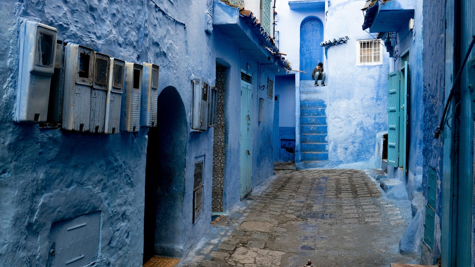
Chefchaouen was built in 1471 as a fortress-refuge by people driven out of Spain, and for four and a half centuries it kept the world out — the Westerners who saw inside before 1920 came in disguise, and one stayed barely an hour. This walk crosses the medina from the little gate of Bab el-Ain to the mountain spring of Ras el-Ma: the market quarter, the main square, the kasbah where the pirate queen Sayyida al-Hurra was born and died, the Spanish century, and the blue-washed lanes whose colour is younger and stranger than the postcards say.
Route notes
The stops
About each stop · narration stays in the app
Bab el-Ain
Bab el-Ain is the western gate where the road and market approach enter Chefchaouen's medina. The route starts here because the threshold introduces the steep commercial climb before the better-known blue lanes and central square. The gate is open-air, but the passage and lane inside are narrow, busy and uneven.
Place el-Haouta
Place el-Haouta is a small neighbourhood square centred on a four-faced fountain pavilion and patterned paving. The route includes it early to show a domestic-scale public space before reaching the larger, more touristed Place Outa el-Hammam. The square is free and used by residents; café seating and local activity can reduce open space.
Souika Quarter
Souika is the lower medina's market quarter, where food, textiles, clothing and everyday services occupy a dense network of lanes. The route crosses it to keep Chefchaouen's colour connected to working trade rather than treating the streets as a painted backdrop. Expect crowds, steps, deliveries and narrow passages; ask before photographing people or shop interiors.
Place Outa el-Hammam
Place Outa el-Hammam is Chefchaouen's principal medina square, shared by the kasbah, the Grand Mosque, cafés and daily public life. The route reaches it as the civic centre from which the town's political, religious and commercial institutions can be read together. The square is free and relatively level, but terraces, heat and evening crowds can change how easily it is crossed.
Kasbah of Chefchaouen
Chefchaouen's kasbah is the fortified compound beside the main square, with rammed-earth walls, towers, a garden and spaces later used as a prison and museum. It is included because the enclosure makes the town's defensive foundation and later government presence tangible at the centre of the medina. The walls are visible from the square; garden, tower and museum access require admission and involve stairs.
Grand Mosque of Chefchaouen
The Grand Mosque of Chefchaouen anchors the main square with a red-tiled prayer hall and an unusual octagonal minaret. The route gives it a separate stop because the minaret's form and the mosque's position explain how religious authority shares the civic centre with the kasbah. The tour remains outside; non-Muslim visitors should not enter the prayer space and worshippers' privacy takes priority.
Place el-Makhzen
Place el-Makhzen is a smaller public space on the medina route whose name recalls the town's administrative connection to state authority. The route includes it to move from the main monumental square into the upper neighbourhoods without pretending every stop is a stand-alone monument. It is an open-air local space; keep doorways clear and expect steep, uneven connecting lanes.
Rif al-Andalus Quarter
Rif al-Andalus is the upper medina quarter of stepped lanes, limewashed walls and houses associated with Andalusi settlement in Chefchaouen. The route climbs through it to examine the blue-painted streets as maintained residential fabric rather than a timeless or uniformly old tradition. The quarter is free to walk, but its stairs and slopes are demanding and homes remain private.
Bab Onsar
Bab Onsar is the eastern medina gate on the climb toward the water source at Ras el-Ma. The route uses it as the last urban threshold before the dense painted lanes open toward the spring and hillside. The gate is open-air, reached by steep and uneven streets with limited resting space.
Ras el-Ma
Ras el-Ma is the spring emerging at Chefchaouen's eastern edge, historically supplying water to the town and nearby mills and washing places. It closes the route because the water source explains why the settlement occupies this particular break in the Rif slope. The riverside is free but wet, uneven and busy; use the public paths and avoid obstructing washing or local work.
Local context
Before you go
The published route starts at Bab el-Ain, incrocio Avenue Hassan II / Rue Moulay Ali Ben Rachid, 91000 Chefchaouen, Maroc. It begins at Bab el-Ain and ends at Ras el-Ma.
On the ground
Access and surfaces
The whole route climbs gently from the southwest gate to the northeast spring on smooth-stone pedestrian lanes with occasional shallow steps; the stretch through Rif al-Andalus is the steepest and includes stepped alleys. Not reliably wheelchair-accessible. Lanes are narrow and busy with stalls and hand-carts at mid-day. Religious interiors are closed to non-Muslims; every stop is written to work from a public exterior position. The kasbah interior (garden, museum, tower) is ticketed and optional.
Frequently asked
Plan the walk
- How long is the Chefchaouen audio walking tour?
- Allow about 110 minutes. The self-guided route covers 1.4 km (0.9 mi) in 10 stops, including walking and listening time.
- Where does the Chefchaouen tour start and end?
- It starts at Bab el-Ain, incrocio Avenue Hassan II / Rue Moulay Ali Ben Rachid, 91000 Chefchaouen, Maroc. The published route begins at Bab el-Ain and ends at Ras el-Ma.
- Will the Chefchaouen audio tour work offline?
- Yes, after download. Audio, stop text, images, and GPS triggering work without data; the live map background still needs a connection.